Kilometres this section : 108
Kilometres completed : 2,696
I don't sleep well in the charitable campsite, thanks to a group of lads who turn up around midnight, then sit chatting at a table next to my tent until dawn, not really what I needed to be honest. Three cups of coffee get me somewhat functional, but I am now truly desperate for a real bed, there's a place online 6km away, I am totally prepared to walk there and yes, pay 120 dollars, but thankfully one of the places I tried yesterday now has a room free. An odd place this, seems very much set up for day trippers, you can take a boat out onto Lago Pirihueico, indeed there's a ferry, to a border crossing with Argentina. Sadly this means the restaurants shut early, instead there is a 'feria', wooden benches and many stalls selling food, and yes, beer. I enjoy some empanadas, and more kuchen, it would be nice to be indoors though.
I feel better after a night in a bed, still a little worse for wear though, it's 10:30 before I get moving, well, maybe walking will perk me up. There's a nice trail by the lake, up, then down to a beach at Pozo de Oro. Then a stiff climb through the trees, but the trail is good, I see many Huilo Huilo signs, guess I'm still in the reserve, but nobody troubles me,. The only problem is the constant rain, well, I can't have nice weather every day, and I almost have up to now. And, I am taking it fairly easy, four days to do the 100km or so to the next town, so no need to walk late, I finish before 7pm, hopefully I can get a decent sleep.
I sleep long enough, in fact it's another late start, I am feeling a bit rough - whether because of my sleepless night, or something I ate, my stomach is not happy. Not great when to go 'to the water', as they say here, I indeed need some water, for, er, hygiene purposes, but also I need to go into the woods and dig a hole. Well, I descend steeply on a gravel road, to Liquiñe, on my map a small collection of buildings, unidentified apart from a couple of thermal spas. Fortunately it turns out to be a proper place with many shops and cafés, from one I get a welcome coffee and pastry, and yes, use their baño - one less hole to dig. More road, at the end of which I meet, oh wow, an actual GPT hiker, first one in three months. He has come 900km south from near Santiago, fair play. I keep on north, a good trail but relentlessly uphill, but after a slow morning I need to walk. On to 8pm, I think that is enough, but nowhere to camp here, dense bamboo borders the trail. Another half hour and I find a clearing, well, a little nearer to the next town.
I manage to get going at 8am on day three out of Puerto Fuy, still not feeling great but there's no help for it. The trail keeps climbing, but before long I reach the treeline, always welcome as now I don't have to clamber over fallen trees. In fact, shortly I am walking through another glorious volcanic landscape, though here the last eruption must have been a while ago, the lava flows and gravel slopes softened by time as plant life takes hold. It makes for a fine day, I pass several lakes, Laguna Azul, then over a pass with a view of Laguna Blanca not far away. A small hiccup before I reach Laguna las Avutardas, I plotted a diversion from the trail I'm following, to avoid a steep climb I think - of course my planned route turns out to involve leaping over a cliff. I manage to find a way down, and from there it's a nice trail past the laguna and down, I reach the road for just gone 7pm, hoping the campsite marked there on my map is real. It is, but it's closed - but the nice ladies let me camp anyway, and even sell me cake and biscuits, excellent.
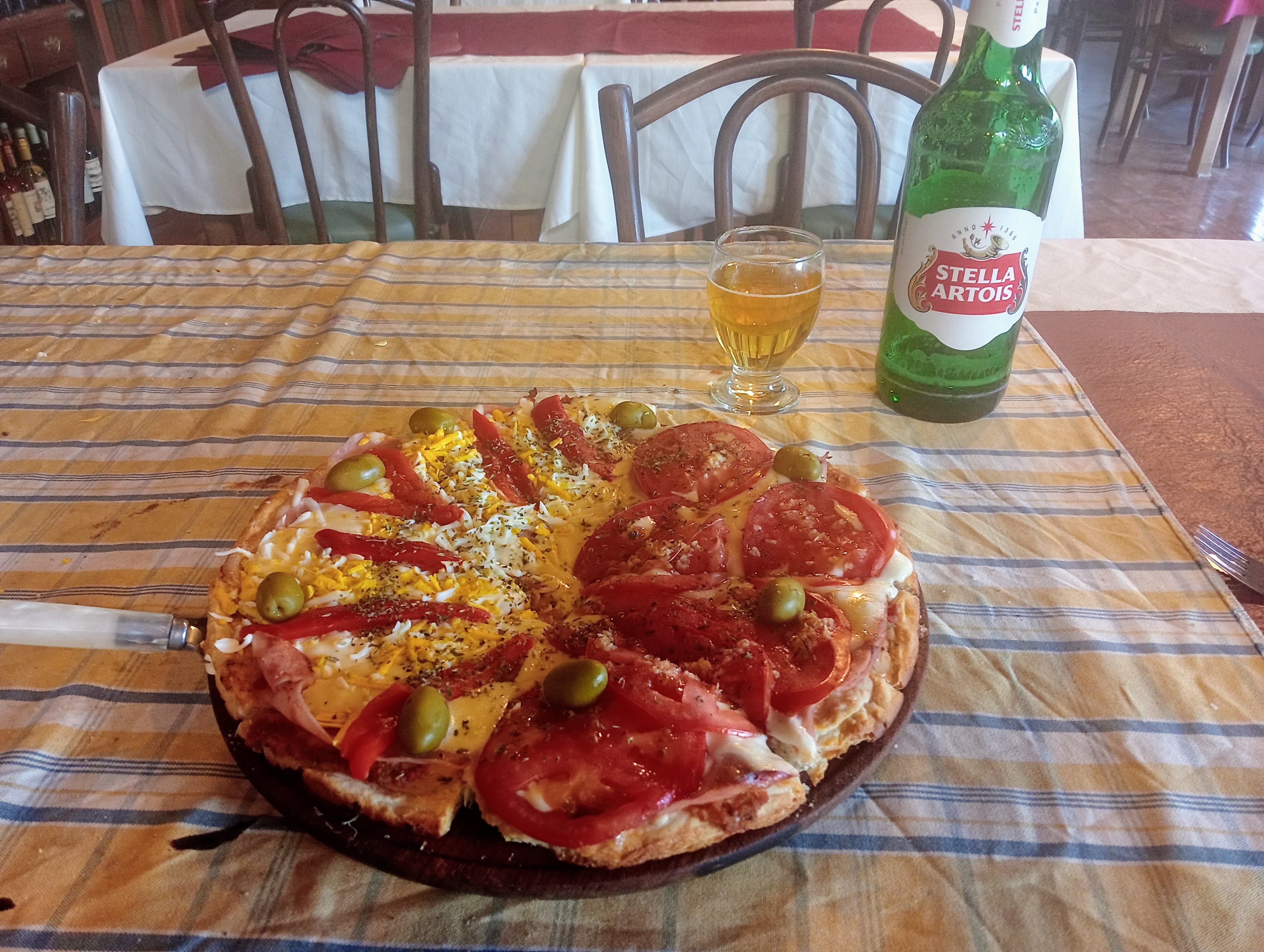
Only 25km to go in this section, good, I am feeling pretty broken. The first 10km or so is on trail, this turns out to be fine, mostly a vehicle track through the trees. At one point I briefly emerge onto a road by a CONAF station - this being the Chilean national park authority. Of course they want my details, and tell me the region I just walked out of is closed, hmm. Apparently there is a fire, a long way away... Well, they don't stop me walking down the public road to Curarrehue at least - yes, another difficult to pronounce place name. I find a room to sleep in, they want cash but oh wow, the town has an ATM. But of course it is not working, fortunately I can pay with my card, for an extra three dollars, oh no.