Kilometres this section : 111
Kilometres completed : 2,807
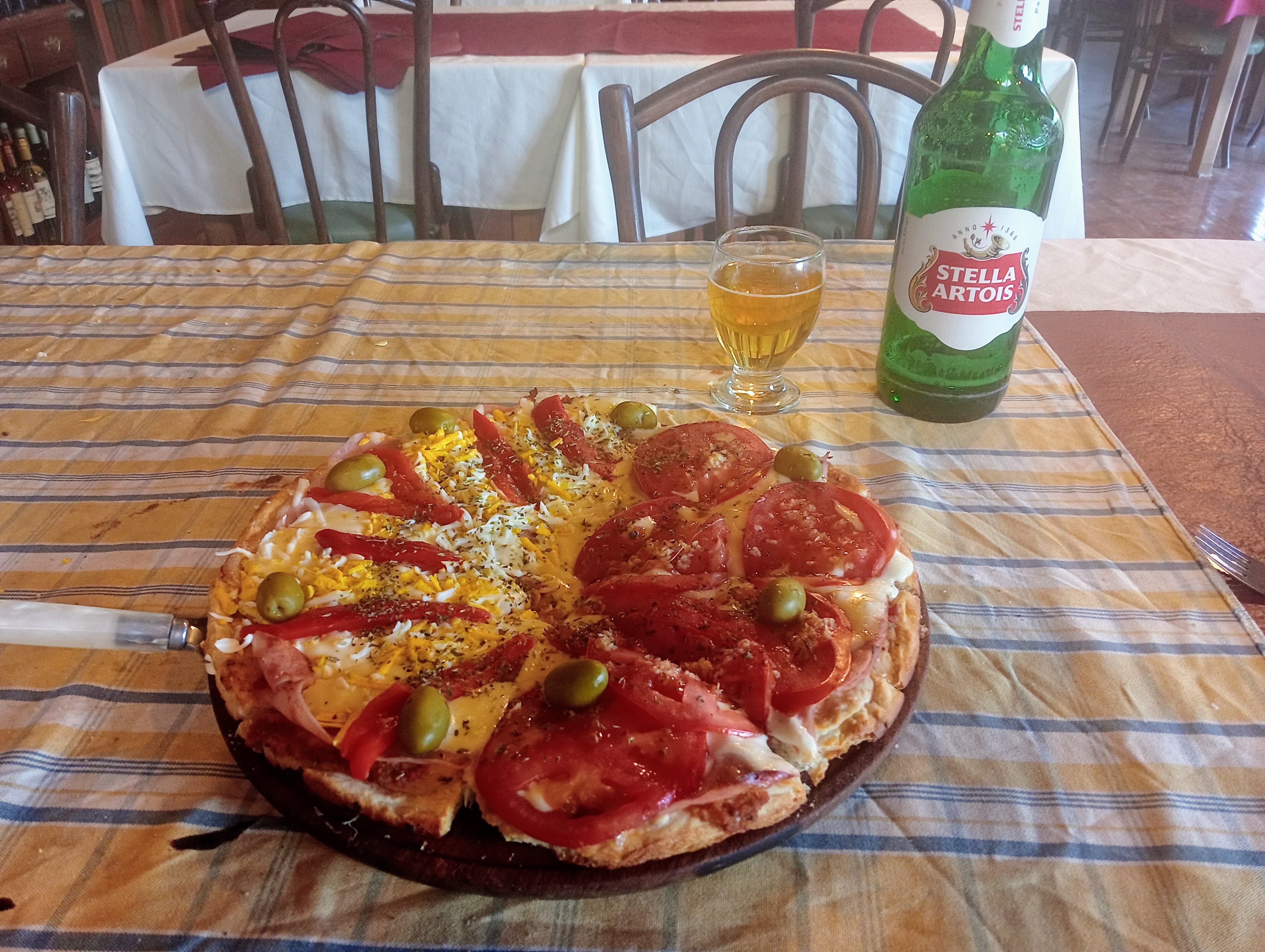
I spend much of my day off in Curarrehue either in bed or on the toilet, not the most fun I've ever had. There is stuff to buy of course, I get food, and some pills for my stomach, hopefully they'll do some good. I also get some new shoes, the pair from Trevelin have done nearly 800km, not bad but dealing with the upper splitting away from the sole is becoming a pain. The new pair look the part, but as they only cost 22 dollars I'll be surprised if they last long. Curarrehue actually has a restobar, I manage to drink beer, but my body does not want to consume a giant burger, for all that I really need the calories. Things will get better...
A minor road takes me out of Curarrehue, and it quickly clouds over then begins to rain, as I climb on a nice trail, up to a 1,400m pass. Hard work, I lack energy, but make it up somehow. From here, past Laguna Hualalafquén, scenic enough on a nice day I am sure. I've crossed back into the Villarrica reserve, I wonder if it is still shut? Not much danger of fire today surely, although a big group of locals camping at one end of the laguna have actually made one. As for me, I keep going a bit longer, descending from the laguna to meet a road, and then finding a damp spot to camp.
One foot in front of the other... I think the pills are working, my digestive system seems better behaved, but I am weak, I don't think I've gained much energy from what I've been eating recently. An easy enough day at least, following a gravel road up Río Machín, not terribly exciting or scenic but I am able to keep moving. Looking on the bright side, well, it isn't raining, and the new shoes aren't falling apart just yet. I manage 35km - only another 50 to the next town now!
I'm a little worried about the next few km, I am going to cross back into the Villarrica reserve yet again, the place is huge. And at the entry point, my map has another CONAF station - it's short for COrporación NAcional Forestal apparently. Will they let me in I wonder - well, as it turns out, yes, I just need to register once more. Then the trail is an easy enough vehicle track, a few steep bits but no problem getting to a 1,400m pass. I could climb higher, up to the crater of Volcán Sollipulli, filled with ice and snow, but I don't have the energy. I am feeling a bit better though, I think I could eat something now, well, I settle for quite a few blackberries as I walk along. Descending, there is of course a new river which I ford several times, the new shoes cope with this, good.
Only 20km or so left to do, and I am definitely feeling better, this is good, the route is taking me up to another, higher pass, but the dirt track is good walking, no problem. Interesting to see many tall Araucaria trees here, these archaic conifers are emblematic of the region, their cones laden with edible seeds which were the staple food of the indigenous people here. Indeed, I see plenty of people collecting the 'piñones', so clearly good eating. Anyway, a few km of overgrown path, then more track and road take me to Icalma, where I don't get off to a great start. I'd reserved a cabin here, pricey but nice not to have to hunt for somewhere to sleep. The place is hard to find - no, why bother to have a sign up with the name of your business. But worse... the confirmation email I got plainly said they wouldn't accept cash, but of course this turns out to mean, they only accept cash. Ho hum, I find a much cheaper room nearer the centre of this tiny place, where I also get a massive chunk of beef with rice - there are buildings around that signs suggest might be restaurants, but they are all shut, so no choice other than home cooking at the hospedaje. Well, the beef is good enough, but problems continue - the lady of the house keeps asking if I want to 'cancelar', no of course not? But apparently she was really asking me to pay, yes it seems the word is used that way here, I fear I may have offended her.
 |


 |